

Ain Draham to Oued Zen via Dar Fatma
- Hike
- Distance
- 25.1km
- Duration
- 7.5HRS
- Ascent
- 456M
Listed 25.1 km / drawn track 18.7 km
Elevation profile
352-910 M / TERRAIN TILES SAMPLED ALONG THE TRACK
Photographs
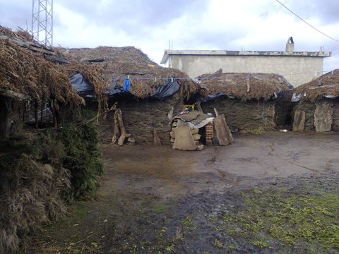
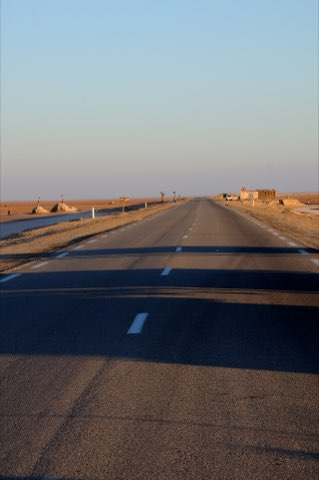
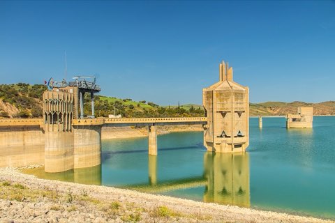
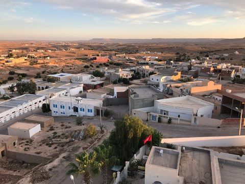
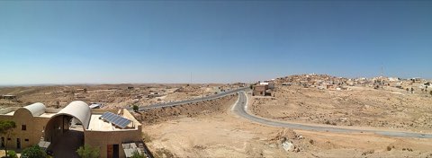
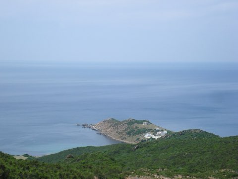
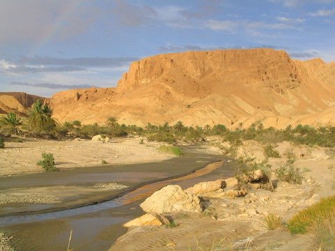
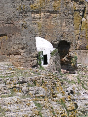
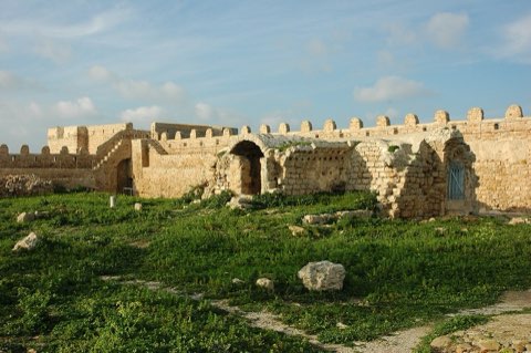
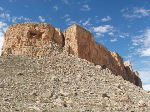
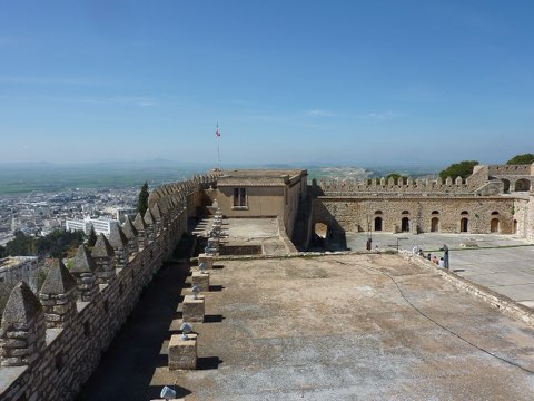
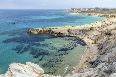
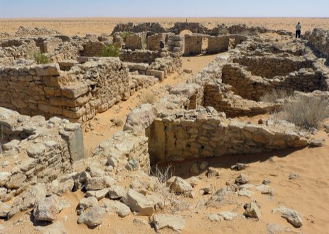
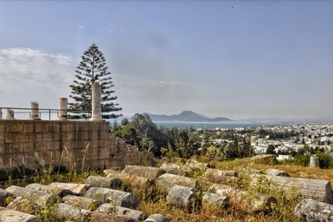
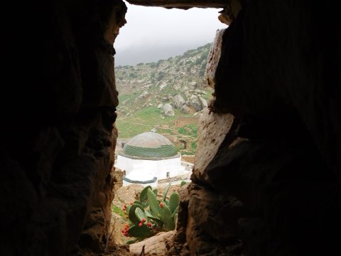
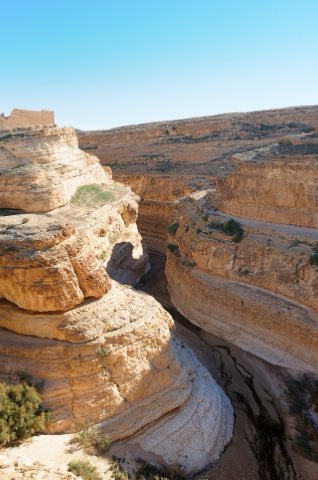
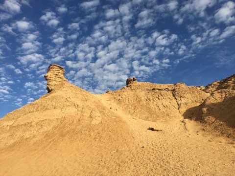
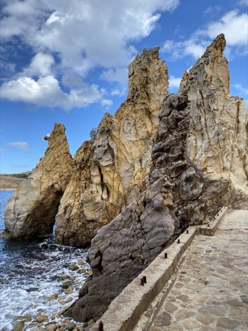
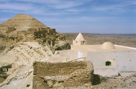
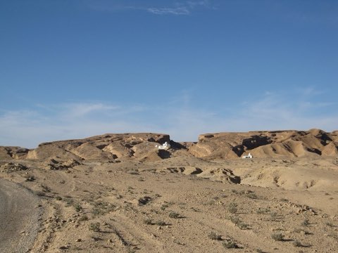
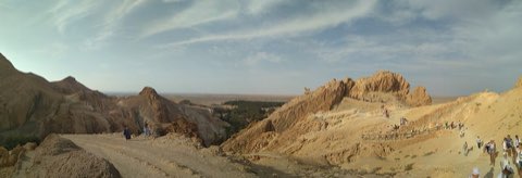
Photos: Fatma Hamdi (CC BY-SA 4.0), Smailtn (CC0)
Start point
- Car
- About 180 km west of Tunis via Beja and Jendouba or via Tabarka (about 3 h).
- Louage
- Louage from Tunis Bab Saadoun station to Ain Draham, or to Jendouba then change (verify locally).
- Bus / train
- Train Tunis-Jendouba, then louage to Ain Draham.
Nearby
The trail
A long one-way forest traverse from Ain Draham across the Dar Fatma plateau and down to the Oued Zen valley.
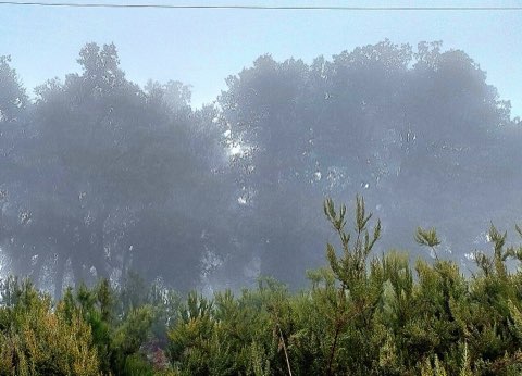
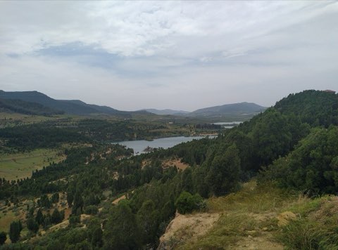
This route crosses the heart of Kroumirie, the wettest part of Tunisia, through dense cork oak and zeen (Portuguese) oak forest. It passes the Dar Fatma area, where a 15-hectare peat bog at about 780 m has been a nature reserve since 1993 and a Ramsar site since 2007; its peat holds a pollen record of roughly 33,000 years and has no equivalent elsewhere in North Africa. The walk ends in the Oued Zen valley, a protected zeen-oak forest known for its streams and waterfalls.
- Cork and zeen oak forest
- Dar Fatma peatland reserve (Ramsar site)
- Oued Zen valley
- Cool summer climate
Weather and season
- SEASON
- Apr-Jun and Sep-Nov
| Month | Average high | Average low | Rainfall |
|---|---|---|---|
| January | 11.5 C | 5.4 C | 113 mm |
| February | 11.8 C | 5 C | 113 mm |
| March | 14.2 C | 6.7 C | 112 mm |
| April | 17.8 C | 9.3 C | 73 mm |
| May | 20.8 C | 12 C | 72 mm |
| June | 25.9 C | 16.1 C | 19 mm |
| July | 29.6 C | 19.3 C | 6 mm |
| August | 29.9 C | 19.9 C | 23 mm |
| September | 25.7 C | 17.5 C | 56 mm |
| October | 21.9 C | 14.2 C | 80 mm |
| November | 16.6 C | 10 C | 118 mm |
| December | 12.8 C | 6.8 C | 110 mm |
Monthly normals 2011-2020 at the start point, from Open-Meteo (CC BY 4.0). Shaded months are the season this trail is listed for.
Practical
- Water
- Springs exist but are not reliable; carry 2-3 L. Nothing between Ain Draham and Oued Zen except roadside cafes.
- Guide
- recommended
- Hazards
- Fog and heavy rain in winter, snow some years; muddy tracks; arrange a pickup at Oued Zen.
- Route
- Approximate line along mapped paths between verified waypoints. Follow a guide or a GPS track on the ground.
Go with a guide
These operators and clubs organise guided hikes in Tunisia:
- WildyNessTunisian booking platform for guided hikes with local guides (Cap Blanc, Mides, Selja, Dahar, El Haouaria), several with GPS downloads.
- Association Tunisienne des RandonneursHiking association in Tunis that runs and writes up group hikes across the country.
- Mosaic North AfricaTour operator offering custom hiking trips, including the Chebika, Tamerza and Mides oases.
- Destination DaharPublishes the official topoguide (12 stages, 194 km) of the Grande Traversee du Dahar.
- Grand Sahara AventuresDjerba-based operator running Berber village and desert treks in the south.
- Destination TunisTunis-based guide publishing and leading day hikes around Tunis and Cap Bon.