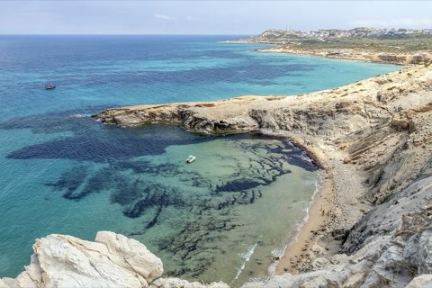
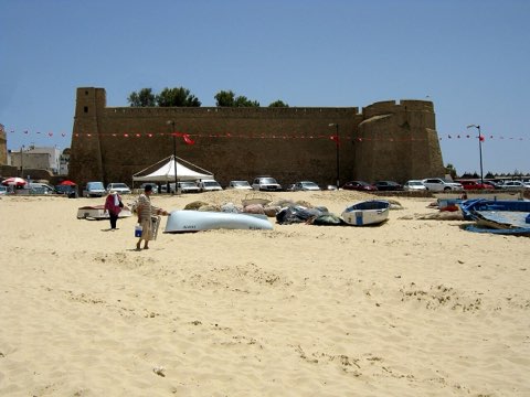
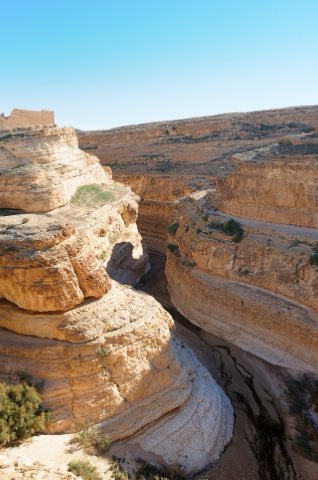
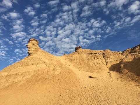
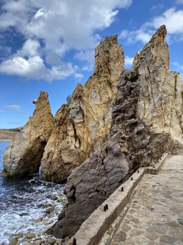
Zriba Olia Berber Village and Ridge
- Hike
- Distance
- 5.2km
- Duration
- 4HRS
- Ascent
- 350M
Elevation profile
291-622 M / TERRAIN TILES SAMPLED ALONG THE TRACK
Photographs
Photos: KarimJerbi (CC BY-SA 4.0), Medmehdich (CC BY-SA 4.0), Aliyazidi (CC BY-SA 4.0), Nono vlf (CC BY-SA 3.0)
Start point
- Car
- About 1 h 15 from Tunis: Zaghouan, then Hammam Zriba, then left past the cemetery following signs to Zriba El Olia.
- Louage
- Louage from Tunis to Zaghouan, then a local taxi to Zriba El Olia (verify locally).
Nearby
The trail
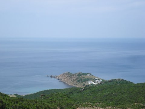
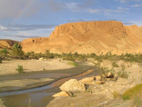
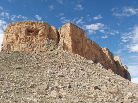
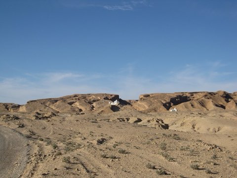
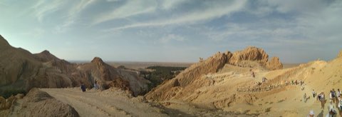
A loop from the abandoned hilltop village of Zriba Olia onto the rocky ridge above it, with a full panorama from Jebel Zaghouan to the Gulf of Hammamet.
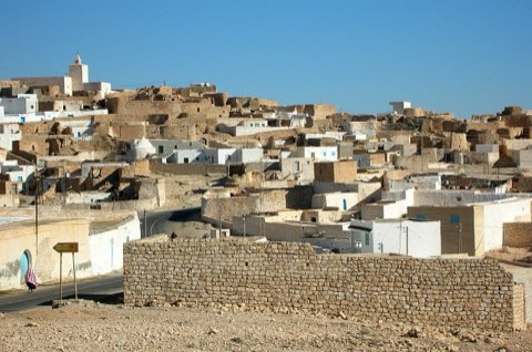
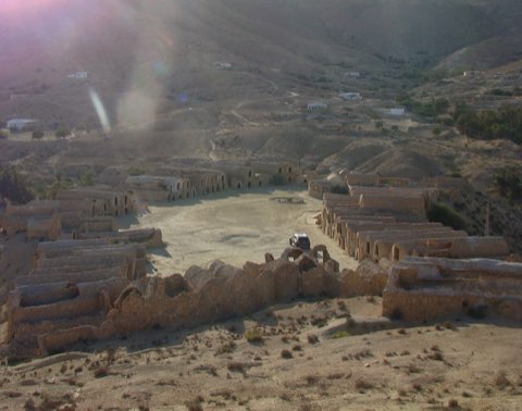
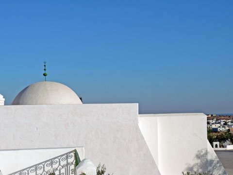
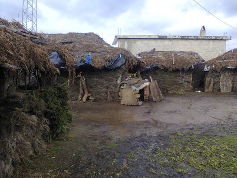
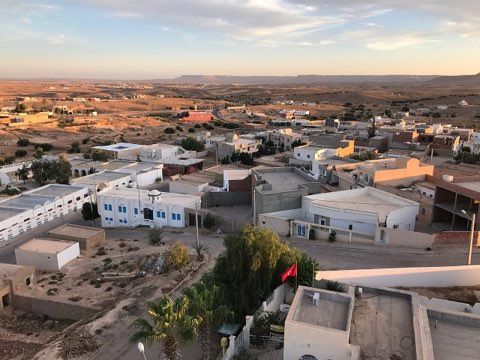
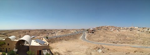
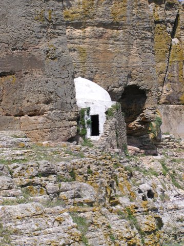
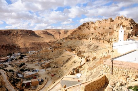
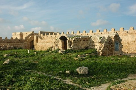
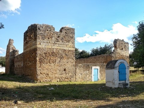
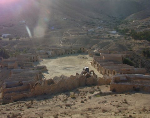
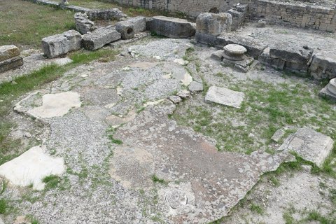
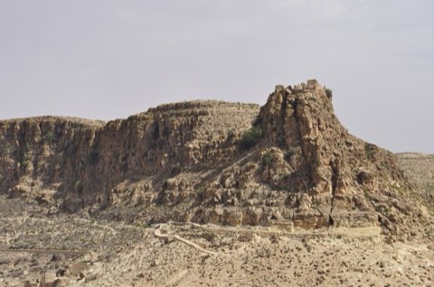
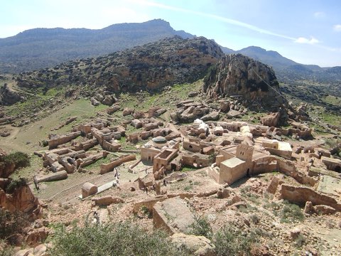
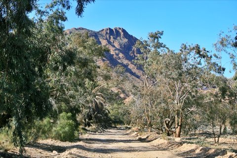
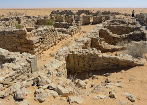
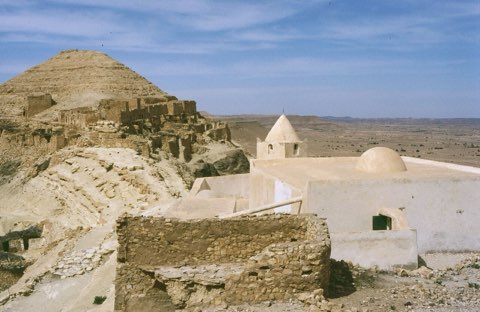
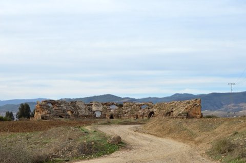
Zriba Olia is a Berber village founded around the 16th century and built between two rocky peaks of Jebel Zriba at about 300 m. Its people left in the 1960s for the new town in the plain, and the stone houses, the tower and the 17th-century zaouia of Sidi Abdelkader now stand empty over the olive groves. The walk climbs from the village through maquis onto the ridge, where the view turns full circle: Jebel Zaghouan to the west, the coast near Hammamet to the east. The descent follows another line back through the olives. Paths are faint in places and the scrub is thorny, but the whole loop is within reach of most walkers.
- Abandoned stone village of Zriba Olia
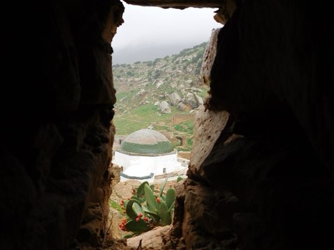
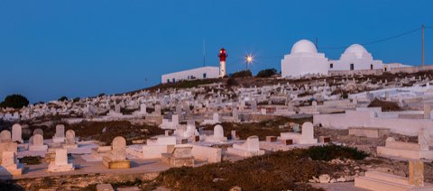
- Zaouia of Sidi Abdelkader
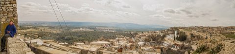
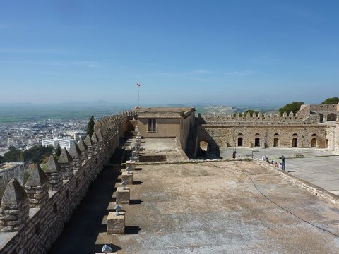
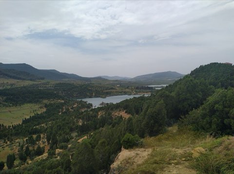
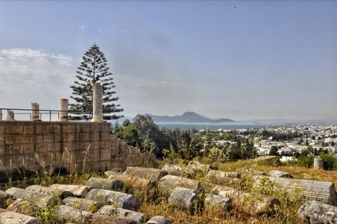
- 360 degree view from the ridge
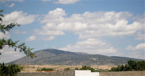
- Jebel Zaghouan across the valley
Weather and season
- SEASON
- October to May; avoid summer heat
| Month | Average high | Average low | Rainfall |
|---|---|---|---|
| January | 13.7 C | 5.5 C | 26 mm |
| February | 14.1 C | 5.2 C | 35 mm |
| March | 16.6 C | 7.1 C | 64 mm |
| April | 20.5 C | 9.7 C | 41 mm |
| May | 24.5 C | 12.5 C | 25 mm |
| June | 29.6 C | 16.4 C | 9 mm |
| July | 33.2 C | 19.5 C | 3 mm |
| August | 32.8 C | 19.8 C | 15 mm |
| September | 28.4 C | 18 C | 41 mm |
| October | 23.7 C | 14.7 C | 55 mm |
| November | 18.5 C | 10.4 C | 38 mm |
| December | 14.6 C | 6.9 C | 33 mm |
Monthly normals 2011-2020 at the start point, from Open-Meteo (CC BY 4.0). Shaded months are the season this trail is listed for.
Practical
- Water
- None on the route; bring all you need.
- Guide
- not needed
- Hazards
- Thorny scrub and faint paths off the ridge; little shade.
- Route
- Approximate line along mapped paths between verified waypoints. Follow a guide or a GPS track on the ground.
Go with a guide
These operators and clubs organise guided hikes in Tunisia:
- WildyNessTunisian booking platform for guided hikes with local guides (Cap Blanc, Mides, Selja, Dahar, El Haouaria), several with GPS downloads.
- Association Tunisienne des RandonneursHiking association in Tunis that runs and writes up group hikes across the country.
- Mosaic North AfricaTour operator offering custom hiking trips, including the Chebika, Tamerza and Mides oases.
- Destination DaharPublishes the official topoguide (12 stages, 194 km) of the Grande Traversee du Dahar.
- Grand Sahara AventuresDjerba-based operator running Berber village and desert treks in the south.
- Destination TunisTunis-based guide publishing and leading day hikes around Tunis and Cap Bon.