Kesra Plateau Loop
- Hike
- Distance
- 12.8km
- Duration
- 5HRS
- Ascent
- 330M
Elevation profile
789-1037 M / TERRAIN TILES SAMPLED ALONG THE TRACK
Photographs
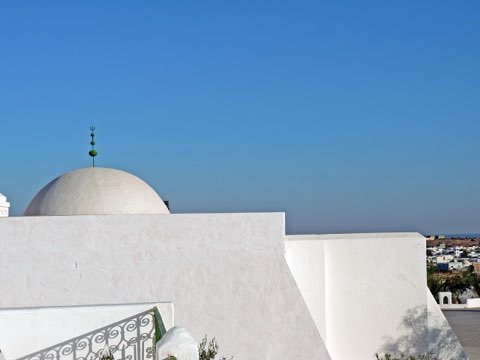
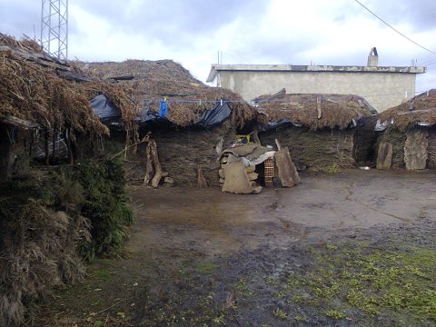
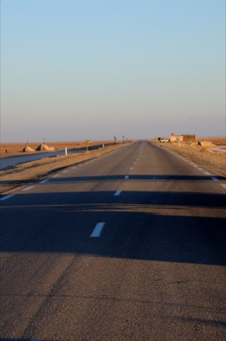
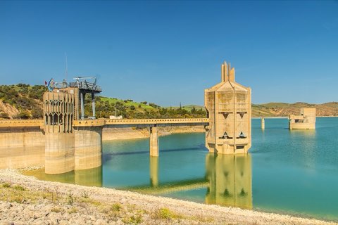
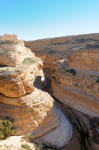
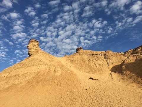
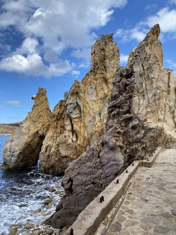
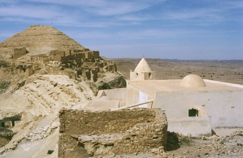
Photos: Mehdi Ben Gharbia (CC BY-SA 3.0), Amina Chaker (CC BY 4.0)
Start point
- Car
- About 170 km south-west of Tunis via Siliana or Makthar (about 2 h 30).
- Louage
- Louage from Tunis to Siliana or Makthar (verify the Tunis station locally), then local louage to Kesra.
The trail
A loop over the high plateau around Kesra, one of the highest villages in Tunisia.
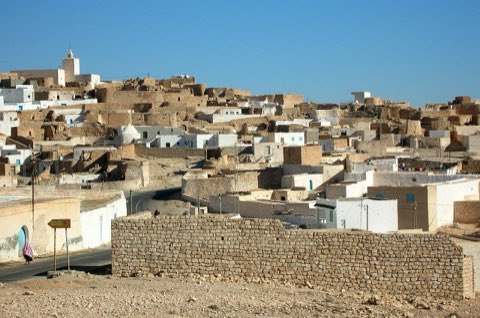
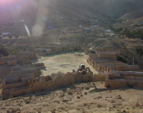
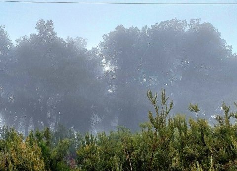
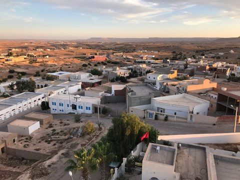
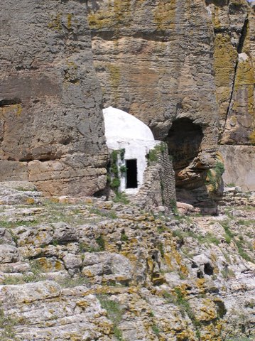
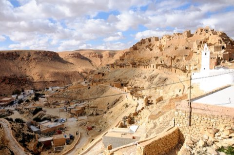
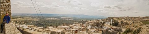
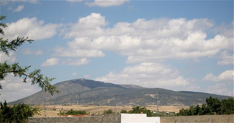
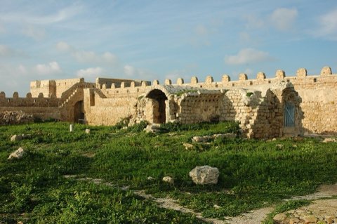
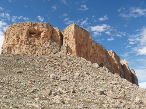
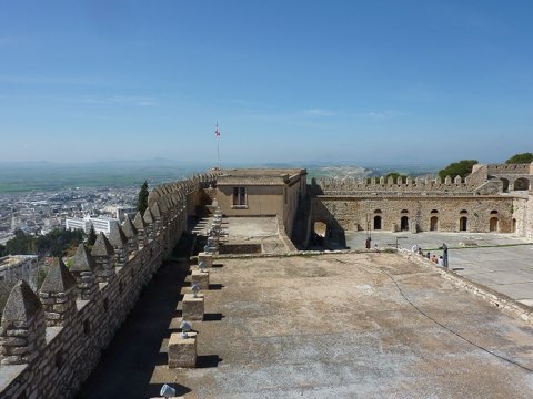
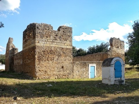
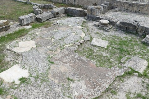
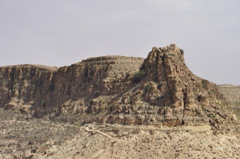
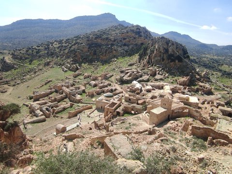
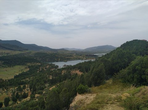
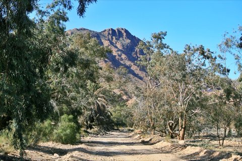
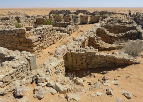
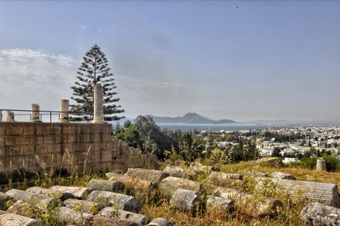
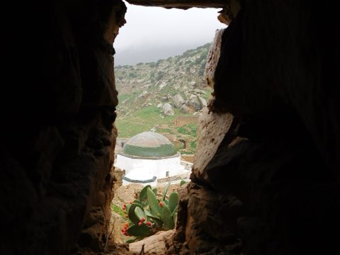
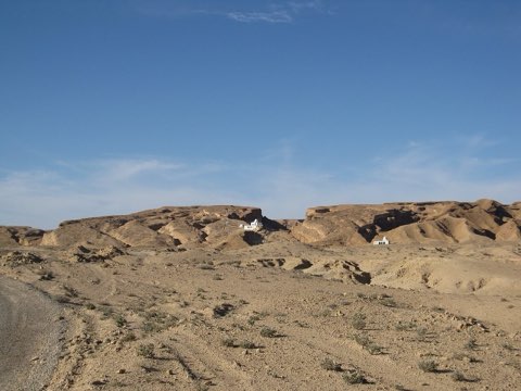
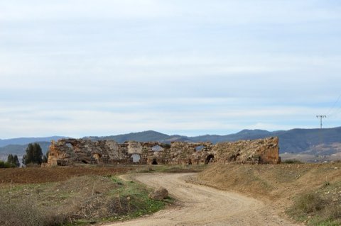
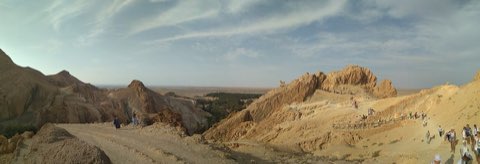
Kesra is a Berber village at about 1,000 m on the edge of the Kesra plateau in the Tunisian Dorsale, near Jebel Serj. In Roman times it was Cusira, and above the houses stand the remains of a Byzantine fort, with megalithic tombs on the surrounding slopes. The loop crosses the plateau fields and Aleppo pine, passes through the old village with its springs and terraced gardens, and looks out over the Siliana and Makthar country.
- Byzantine fort above the village
- Springs and terraced gardens
- Megalithic tombs
- Plateau views over the Dorsale
Weather and season
- SEASON
- Mar-Jun and Sep-Nov
| Month | Average high | Average low | Rainfall |
|---|---|---|---|
| January | 11.6 C | 3.1 C | 30 mm |
| February | 12.3 C | 2.9 C | 32 mm |
| March | 15.2 C | 5.1 C | 62 mm |
| April | 20 C | 8.1 C | 47 mm |
| May | 24.1 C | 11 C | 45 mm |
| June | 29.4 C | 15.3 C | 22 mm |
| July | 33.4 C | 18.5 C | 8 mm |
| August | 32.7 C | 18.4 C | 21 mm |
| September | 27.6 C | 16 C | 45 mm |
| October | 22.6 C | 12.3 C | 46 mm |
| November | 16.7 C | 8 C | 37 mm |
| December | 12.5 C | 4.6 C | 28 mm |
Monthly normals 2011-2020 at the start point, from Open-Meteo (CC BY 4.0). Shaded months are the season this trail is listed for.
Practical
- Water
- Springs and cafes in Kesra village; carry 1.5 L.
- Guide
- not needed
- Hazards
- Cold and windy in winter; occasional snow.
- Route
- Approximate line along mapped paths between verified waypoints. Follow a guide or a GPS track on the ground.
Go with a guide
These operators and clubs organise guided hikes in Tunisia:
- WildyNessTunisian booking platform for guided hikes with local guides (Cap Blanc, Mides, Selja, Dahar, El Haouaria), several with GPS downloads.
- Association Tunisienne des RandonneursHiking association in Tunis that runs and writes up group hikes across the country.
- Mosaic North AfricaTour operator offering custom hiking trips, including the Chebika, Tamerza and Mides oases.
- Destination DaharPublishes the official topoguide (12 stages, 194 km) of the Grande Traversee du Dahar.
- Grand Sahara AventuresDjerba-based operator running Berber village and desert treks in the south.
- Destination TunisTunis-based guide publishing and leading day hikes around Tunis and Cap Bon.